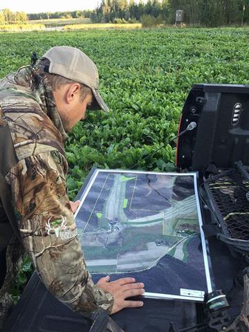
See the difference with Northwoods Mapping! We use high resolution elevation data integrated with the newest aerial photography to create your custom hunting map. Custom heavy duty laminated maps are perfect for marking trails, deer stands, food plots, etc. We strive to make you the best custom map, and work with you to explain all map options available.
All custom Hunting Maps compatible with free GPS Map App for your Tablet or Phone!
Hunting
Custom Heavy Duty Laminated Maps

Printed Map Features
- High Resolution Aerial Imagery for all 50 States!
- Printed on High Quality Photo Paper
- HEAVY DUTY LAMINATION Available – Draw your food plots, deer stands, entrance/exit routes, trails, etc. with erasable marker!!
- Multiple types of High Resolution Aerial Photography to choose from!! (Different types of Aerial Photos/3D Topos available)
- 24K Elevation Contour Lines Available
- Draw your habitat improvements, food plots, trail cameras, deer stands, trails, etc. with order form!
- All Custom Hunting Maps are compatible with FREE GPS MAP APP for Android/iPhone/iPad GPS Devices (See below GPS Map Features)
GPS (iPhone/iPad/Android) Map Features
- View your location on a map using the built-in GPS device (requires iPhone and iPad Wi-Fi + Cellular or compatible Android device)
- Access and load maps through iTunes File Sharing or Android file system or over a Wi-Fi or cellular network. Saved maps can be used without the need for a live network connection (offline)
- Plot deerstand and food plot placemarks, change pin colors, position and label names, enter attribute data and notes
- Measure distances and areas – save measurements to line data with the ability to import and export lines (as Google Earth KML)
- Track real-time movement with GPS (includes speed and elevation statistics)
- Save, export and import tracks into Google Earth (export to KML)
- Save placemarks and quickly navigate to placemarks from a list view. Save associated placemark attribute data as KML, CSV, or GPX files and export to iTunes (iOS only), save to SD card (Android only), e-mail or sync with Dropbox.
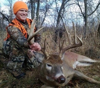
“I came across your maps at the Game Fair in August. When I saw the detail and quality of your maps, I purchased one on the spot. By coordinating the locations/dates/times of the photos onto the map, I was able to narrow down his core area and sneak some stand locations almost on top of his beds without being noticed. This would not have been possible without first scouting out locations on the map and minimizing my foot traffic…Thank You Northwoods Mapping!”
Jason Lindberg – Ottertail County, MN

