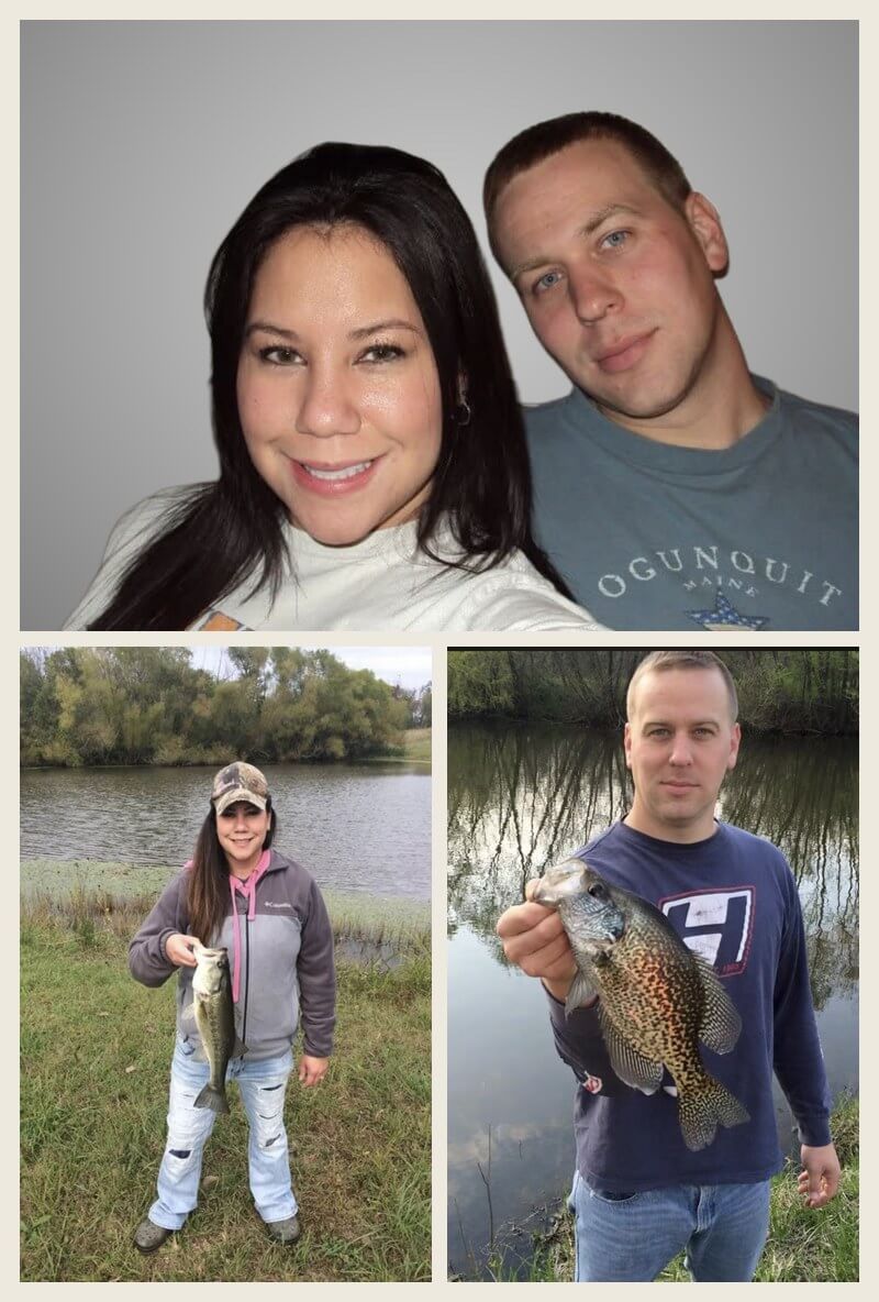
Northwoods Mapping got its start in 2012, built on a simple idea: hunters, landowners, and outdoor enthusiasts deserve a map good enough to trust their season to. In 2025, new ownership took over — keeping that same standard front and center. Every order is personally reviewed before it ships, map by map.
We build hunting property maps, lake maps, farm maps, and public land maps using the newest aerial photography and high-resolution elevation data available. No template, no automated stamp of approval — just a real person making sure your map is right before it goes out the door.
Have a project in mind? We’d love to help.